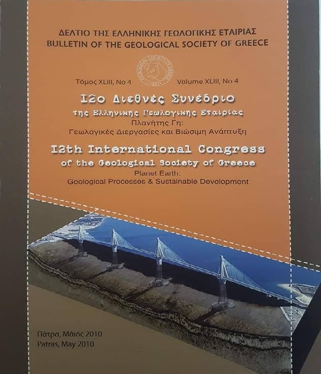
CONTRIBUTION OF DEEP ELECTRICAL RESISTIVITY TOMOGRAPHY TECHNIQUE TO HYDROGEOLOGICAL STUDIES: CASES FROM AREAS IN KAVALA (NORTH GREECE)
Abstract
Article Details
- How to Cite
-
Vargemezis, G., Tsourlos, P., & Mertzanides, I. (2010). CONTRIBUTION OF DEEP ELECTRICAL RESISTIVITY TOMOGRAPHY TECHNIQUE TO HYDROGEOLOGICAL STUDIES: CASES FROM AREAS IN KAVALA (NORTH GREECE). Bulletin of the Geological Society of Greece, 43(4), 1962–1971. https://doi.org/10.12681/bgsg.11387
- Section
- Geophysics

This work is licensed under a Creative Commons Attribution-NonCommercial 4.0 International License.
Authors who publish with this journal agree to the following terms:
Authors retain copyright and grant the journal right of first publication with the work simultaneously licensed under a Creative Commons Attribution Non-Commercial License that allows others to share the work with an acknowledgement of the work's authorship and initial publication in this journal.
Authors are able to enter into separate, additional contractual arrangements for the non-exclusive distribution of the journal's published version of the work (e.g. post it to an institutional repository or publish it in a book), with an acknowledgement of its initial publication in this journal. Authors are permitted and encouraged to post their work online (preferably in institutional repositories or on their website) prior to and during the submission process, as it can lead to productive exchanges, as well as earlier and greater citation of published work.


